Signage Family

Papamoa Hills is one of the most cherished cultural parks in the Western Bay of Plenty. It attracts both fitness enthusiasts who enjoy running and hiking the hills, as well as history and culture lovers eager to explore the various pā sites scattered throughout the park.
While the iconic Mauao (Mount Maunganui) has long been a major draw for locals and visitors alike, Papamoa Hills historically received less attention and funding for development. However, a partnership between a coalition of iwi and the Bay of Plenty Regional Council has led to a revitalization plan aimed at enhancing the park’s natural beauty and historical significance. Central to this development is a thoughtfully designed family of signage that helps tell the story of this culturally rich landscape.
Client
Papamoa Hills
Bay of Plenty Regional Council
Year
2022-2023
The Concept

The signage family is designed to cover three key types of information to enhance visitors' experience of the park. First, navigational signage, providing details on distances and destinations. Second, interpretive signs that highlight the park's rich heritage, offering insights into the history and significance of key sites. Third, markers to identify the locations of old pā sites.
The materials chosen were carefully selected to harmonize with the natural surroundings. Predominantly crafted from wood and stone, the signs are visually striking yet unobtrusive, ensuring they complement the park's rich, natural environment without detracting from its beauty.
The Signs

Map Cluster
Located at the park’s main entrances, the map cluster serves as the flagship sign. It features a comprehensive map of the park, including details such as track names, distances, and key iwi information related to each trail. Additionally, the sign provides a clear description of the park's behavioral expectations, promoting respectful use and stewardship of the environment.

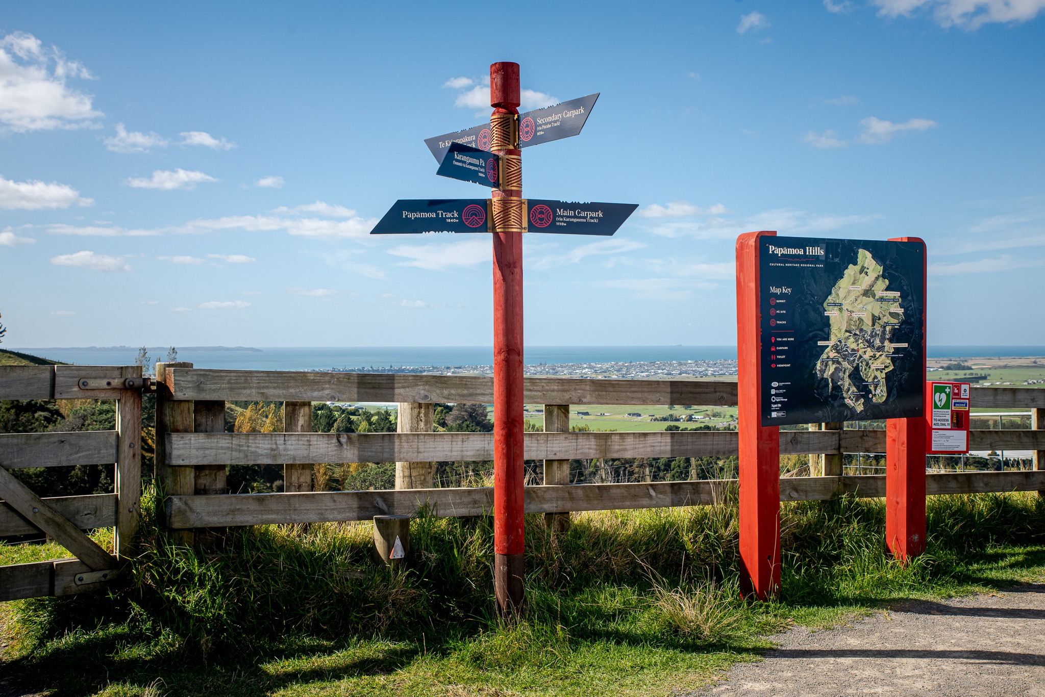
Junction Poles
Found at most track intersections. These signs provide information on direction towards key locations, with distance information.

Pā Interpretation & Pā Marker
Typically displayed together, these two sign types mark the locations of the primary pā sites throughout the park. One sign highlights the site's location, while the companion sign provides a visual representation of the pā's layout at its peak, along with its historical context and iwi affiliations.

Story Pou
These Pou are designed for locations that have a significant amount information that needs to be conveyed, providing the most in-depth interpretations of key sites.
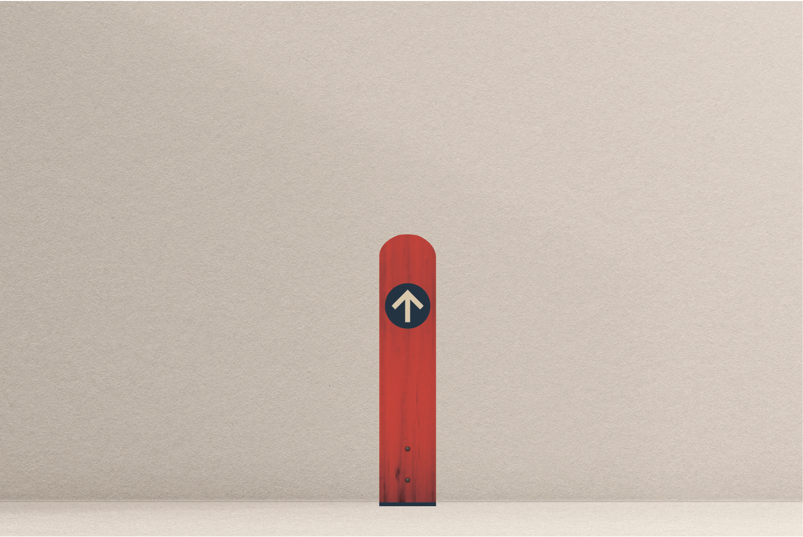
Breadcrumb
The park is vast with many tracks and gullys. Some of the more remote locations see very little foot traffic. Breadcrumbs were then placed across all of the parks to ensure visitors didnt get lost and wonder off into thick brush around the park.